Map also available via Google Maps.
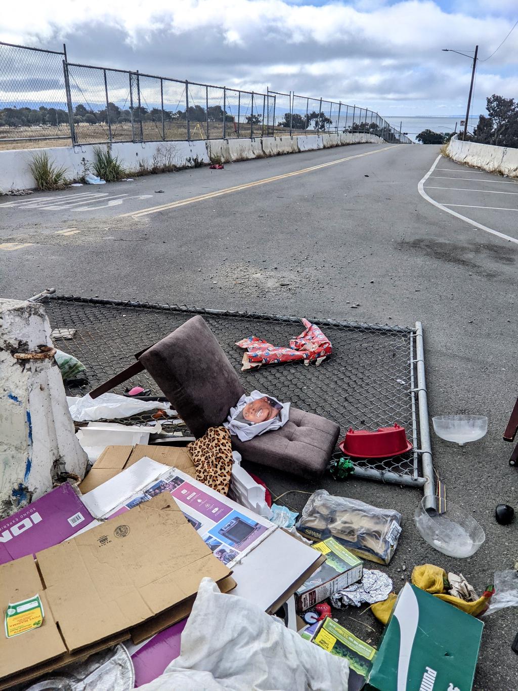 Heading to the trail start at Candlestick Point from the Bayshore Caltrain stop.
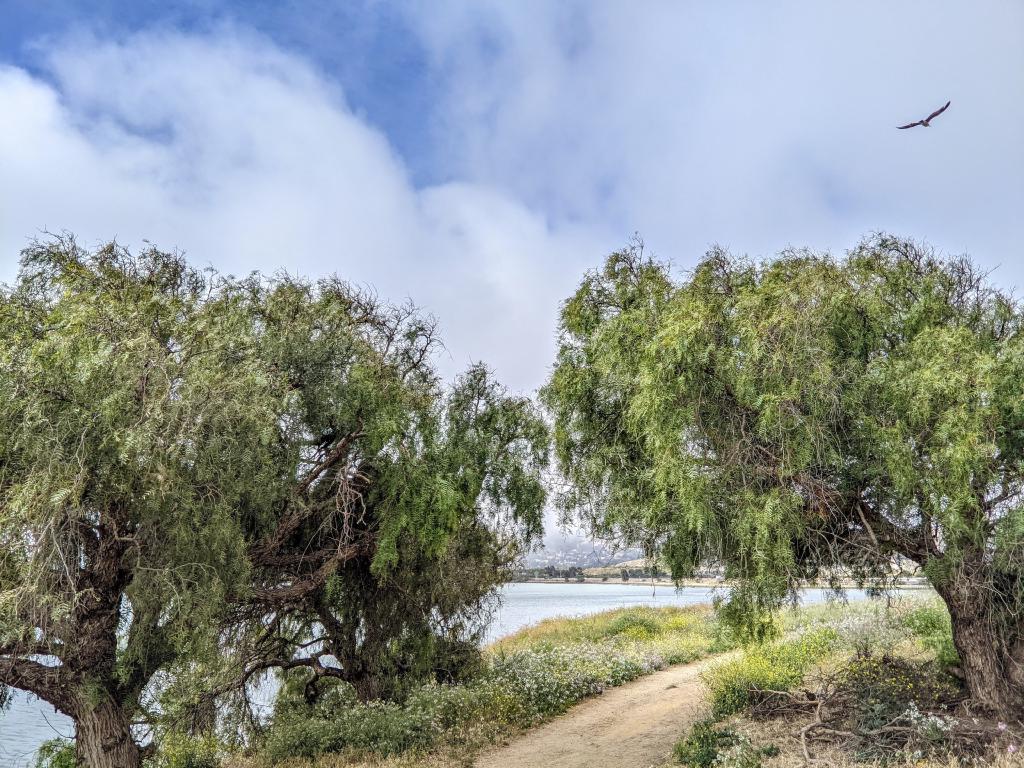
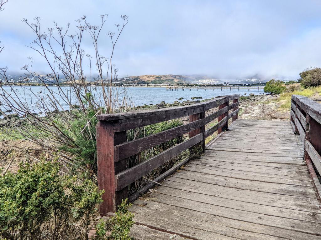 Candlestick Point.
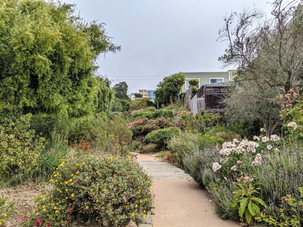 Vistacion Valley. Stepping up through the city passing through one of several neighborhood gardens.
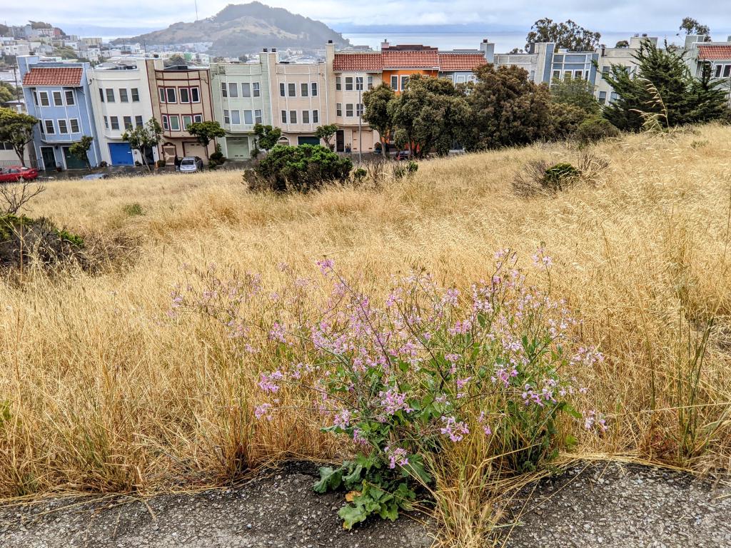 John McLaren Park. First view overlooking the middle of San Francisco Bay.
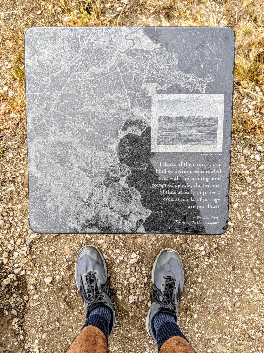
I think of the country as a kind of palimpsest scrawled over with the comings and goings of people, the erasure of time already in process even as marks of passage are put down.
— Wendall Berry, The Art of the Commonplace
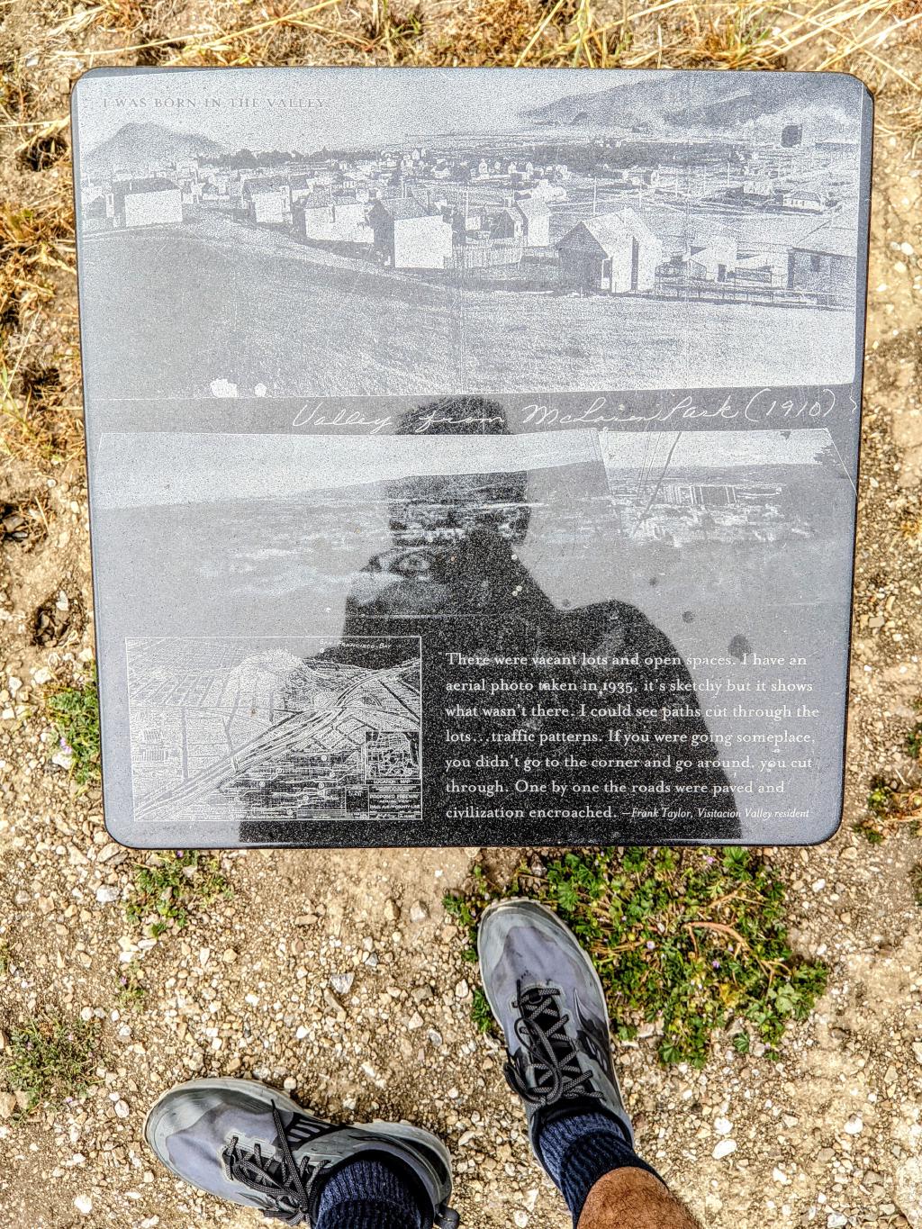
One by one the roads were paved and civilization encroached.
— Frank Taylor, Vistacion Valley resident
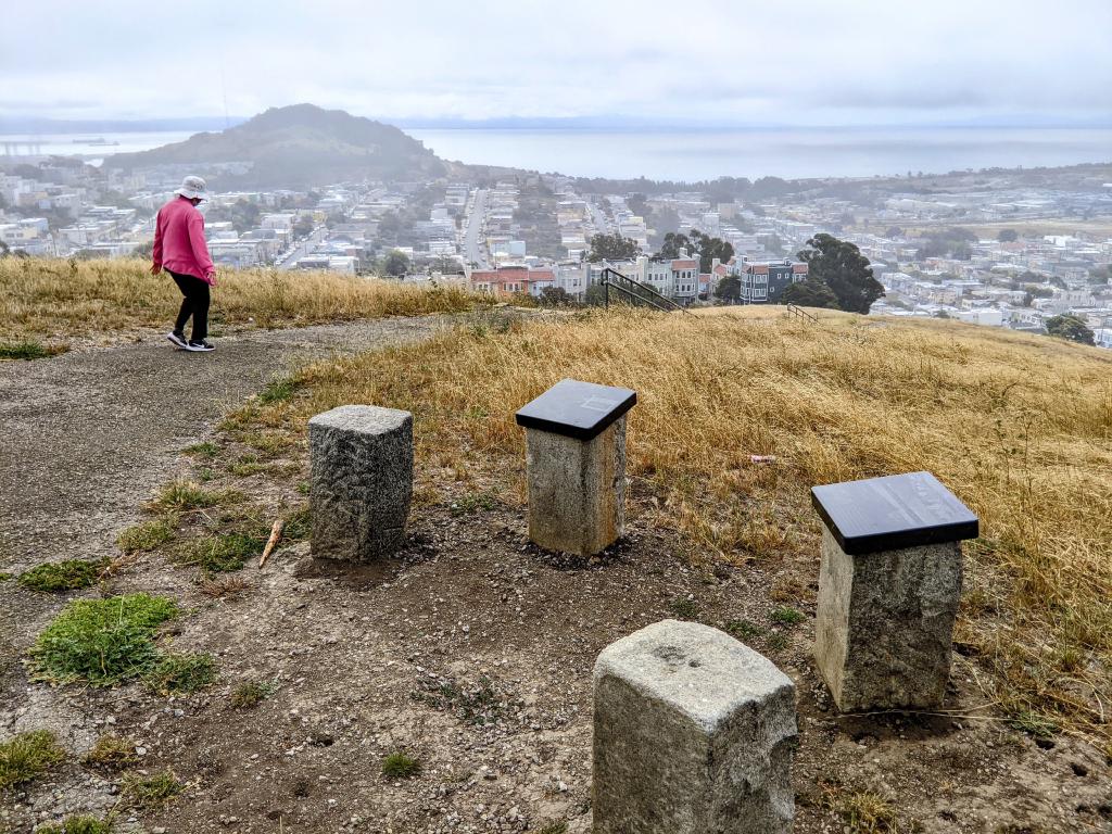
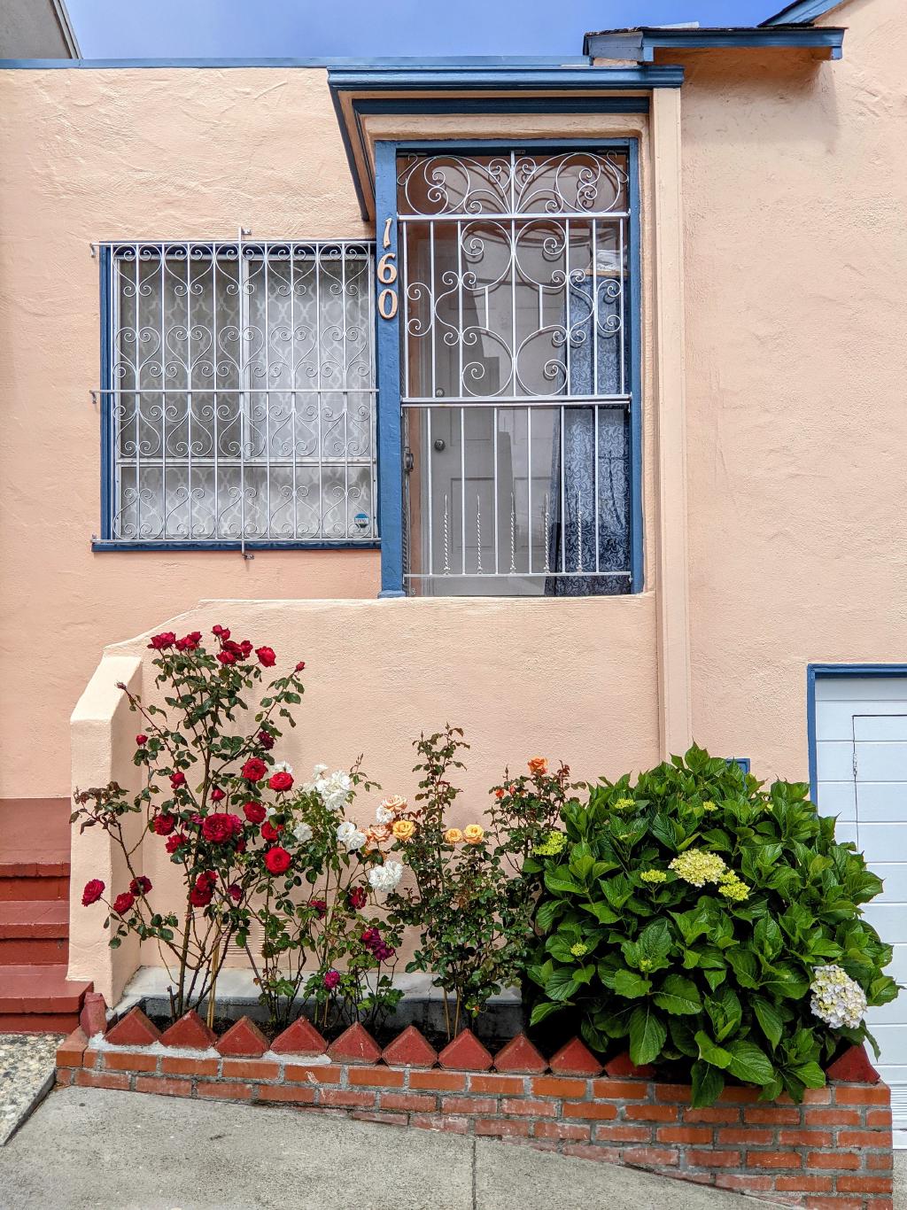 University Mound.
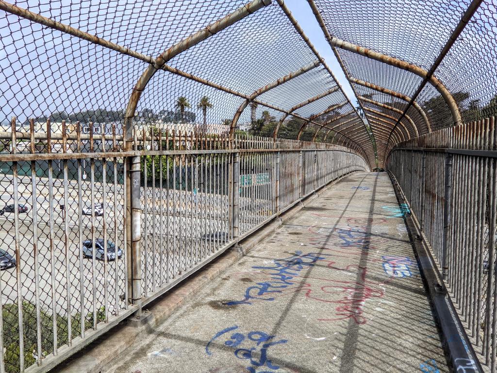 Crossing I-280 to St. Mary’s Park.
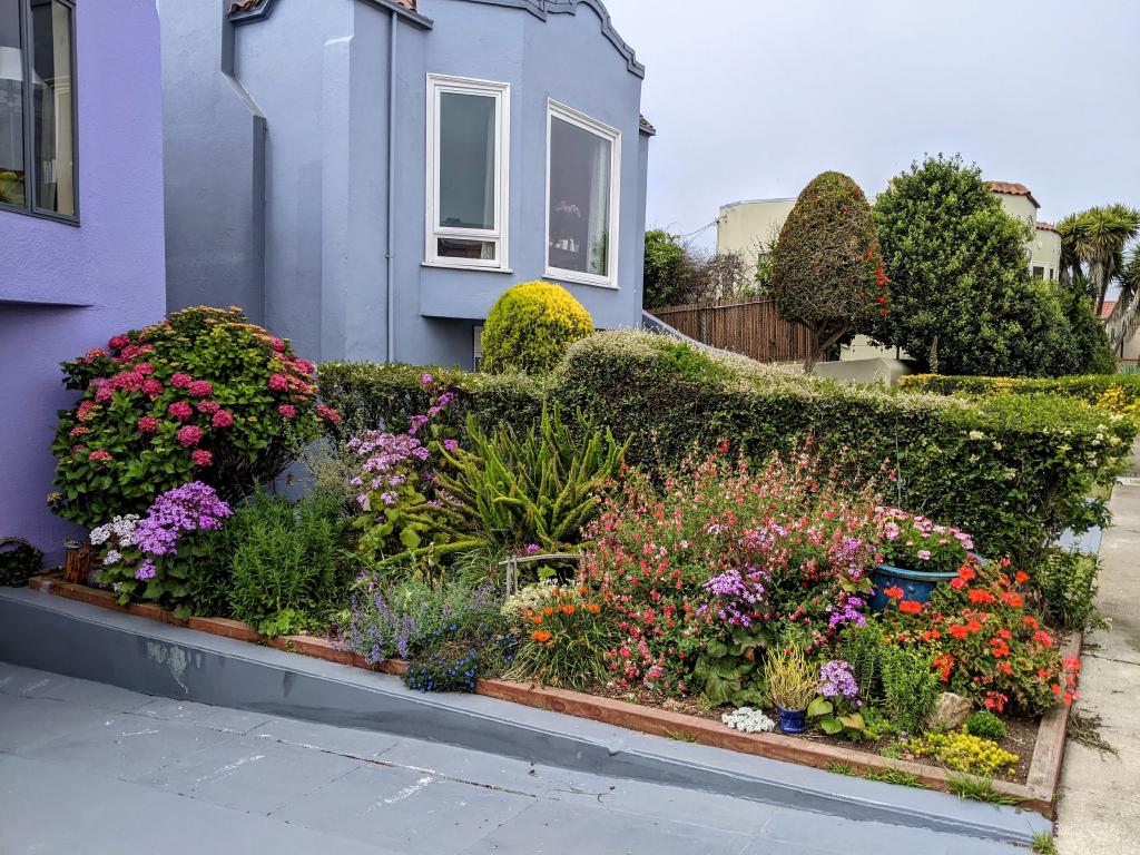 St. Mary’s Park.
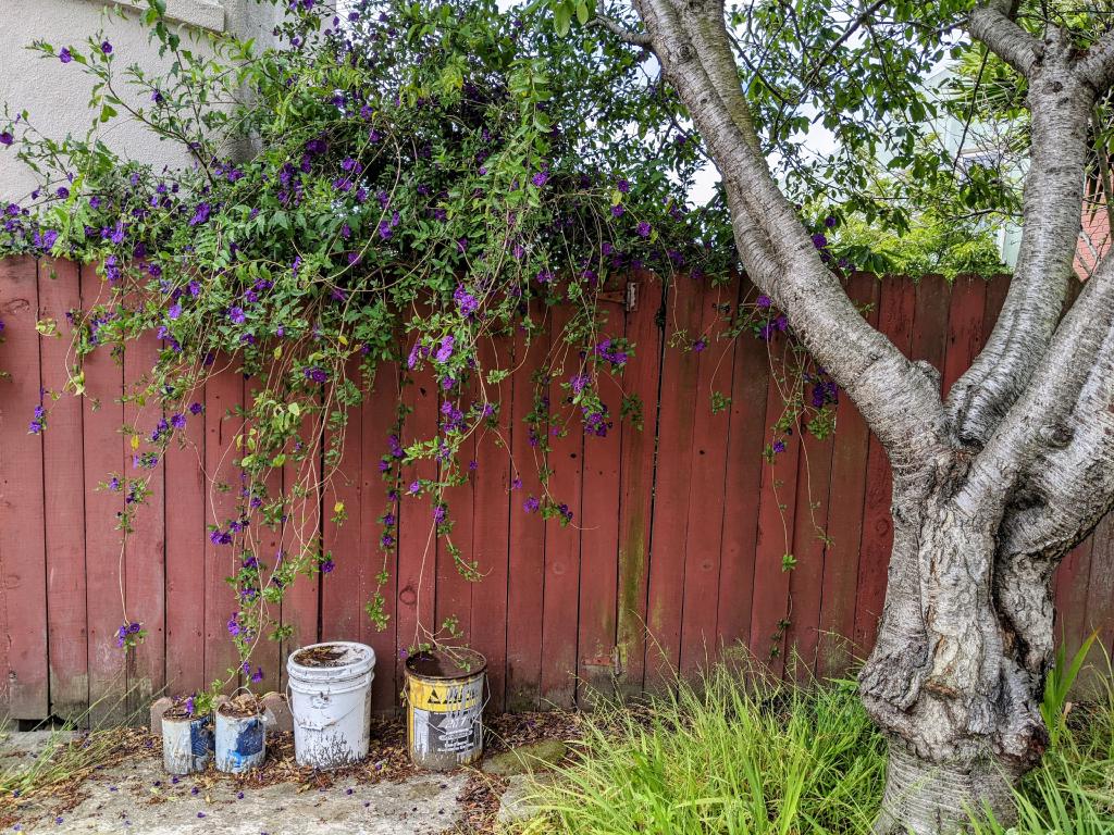
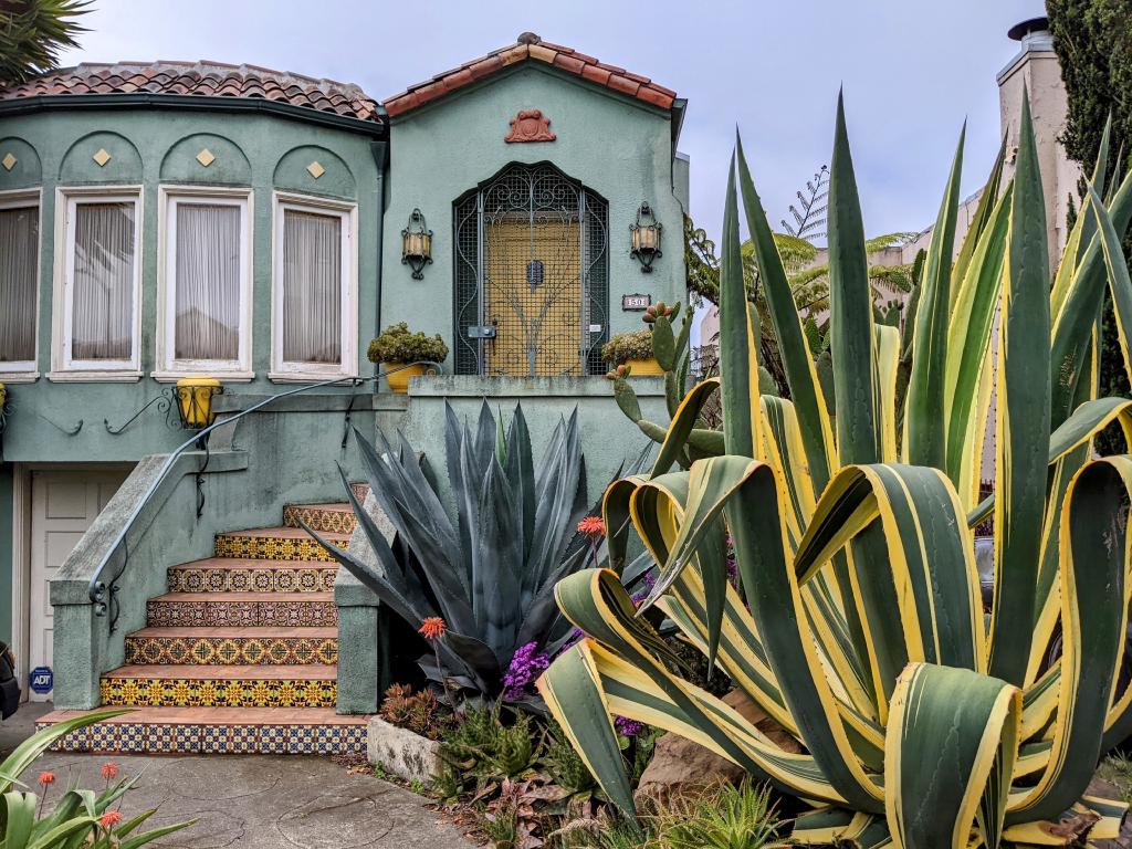
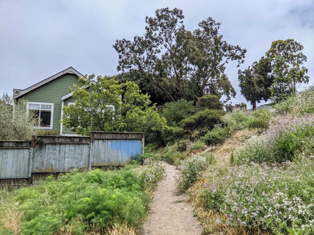 Glen Park.
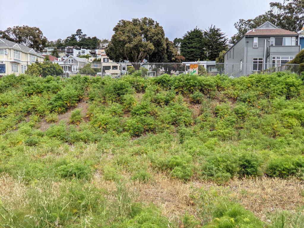
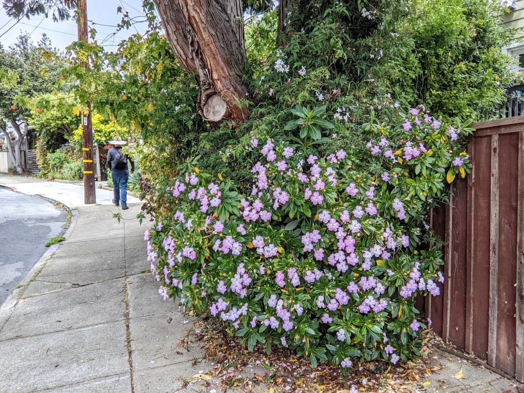
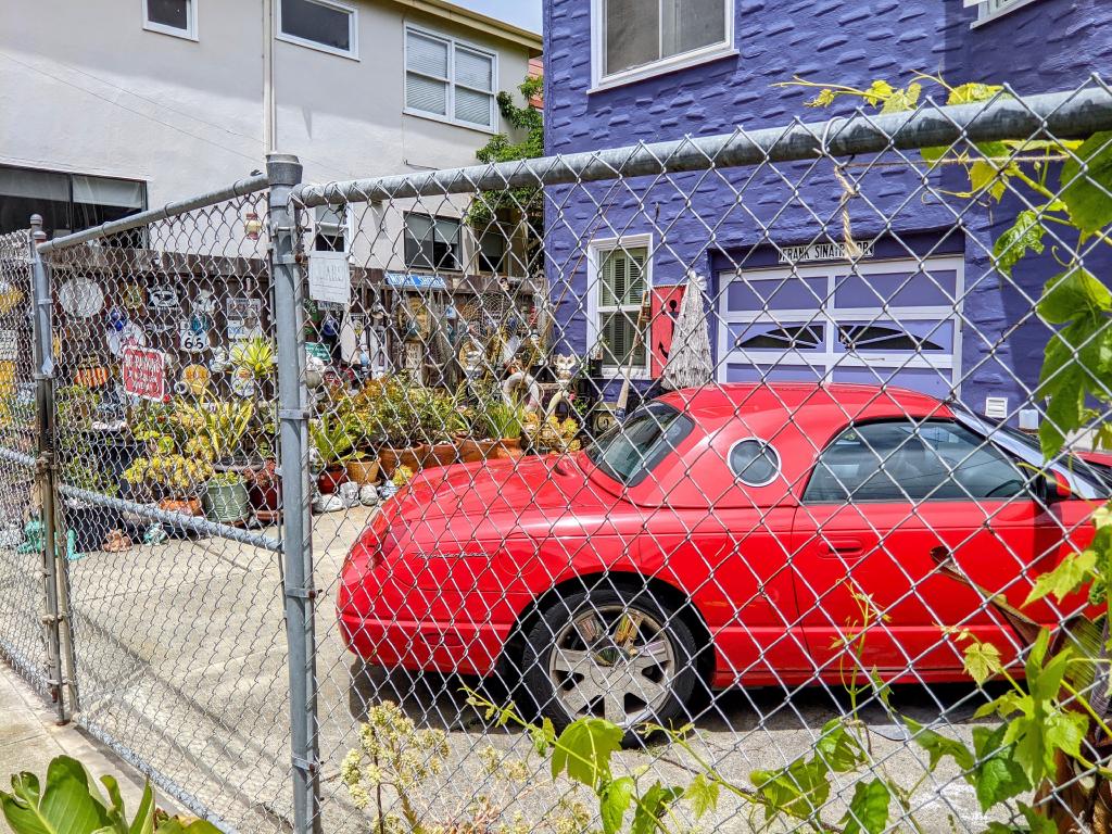
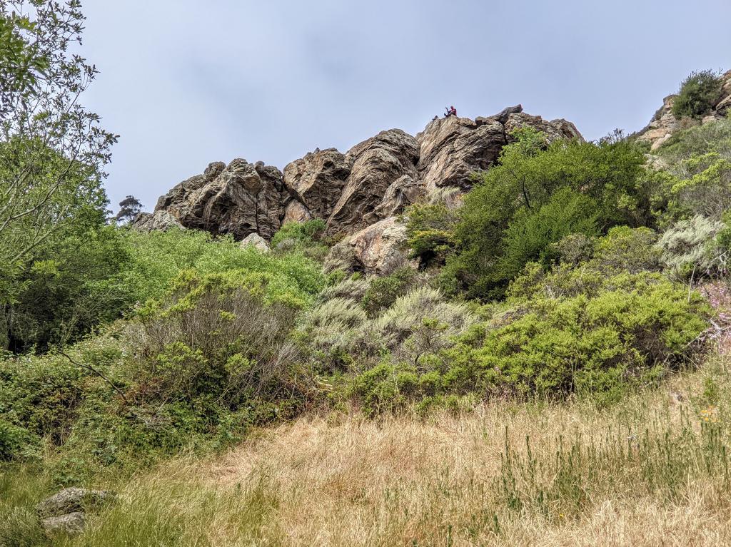 Glen Canyon Park.
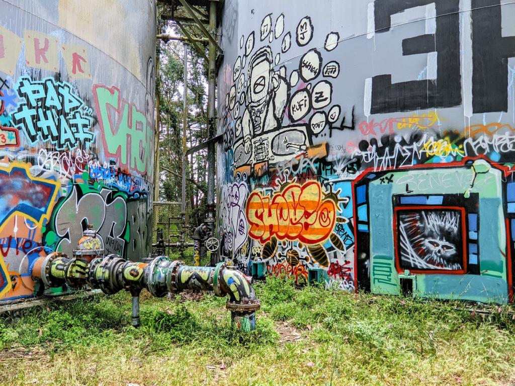 Midtown Terrace near Twin Peaks.
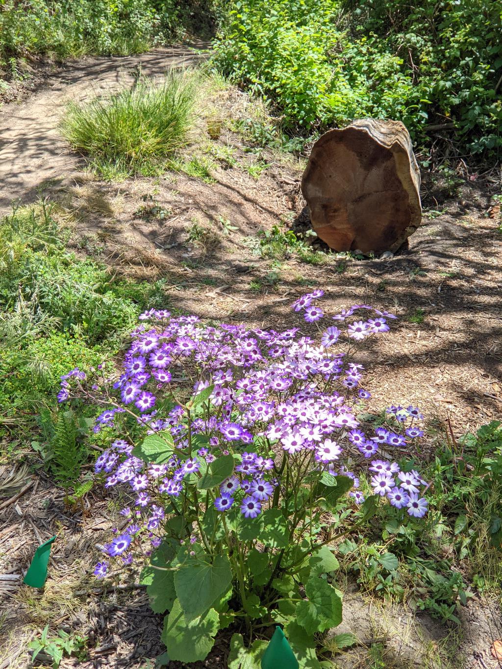 Forest Hill.
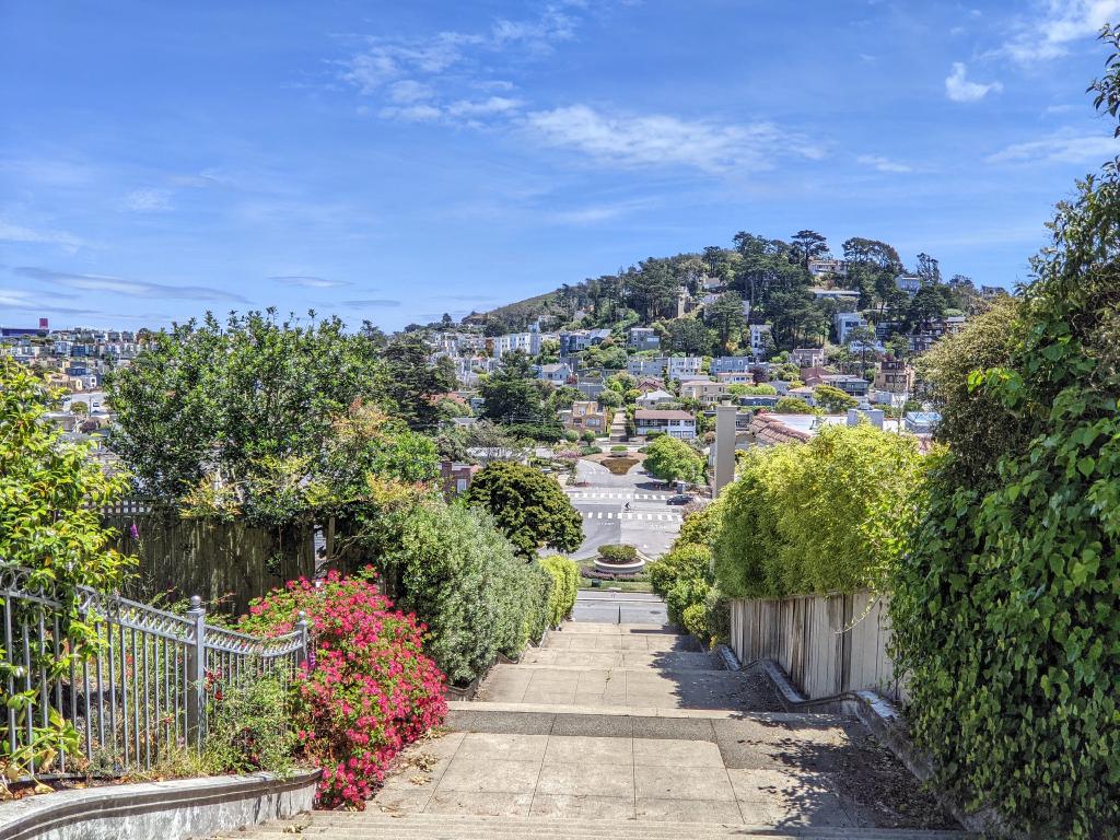 Grand Pacheco Stairway.
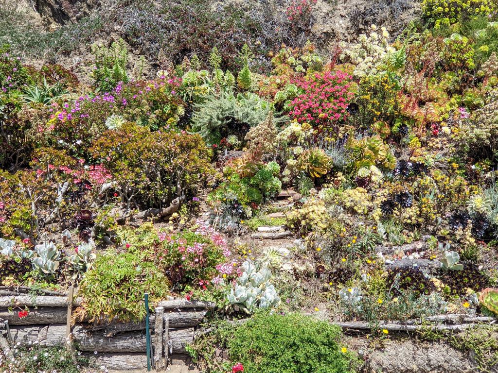 Golden Gate Heights.
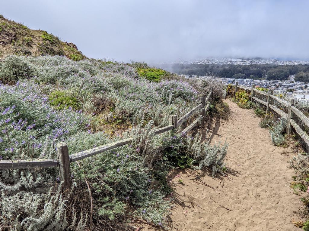 Grandview Park. Top of the Moraga Stairs.
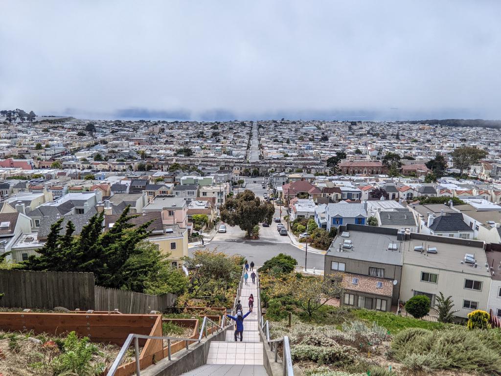 16th Avenue Tiled Steps. Top.
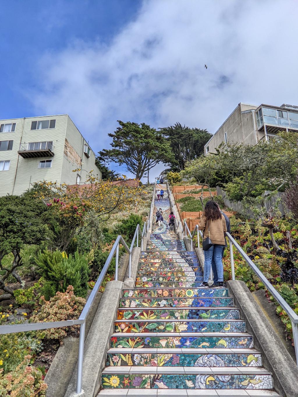 16th Avenue Tiled Steps. Bottom.
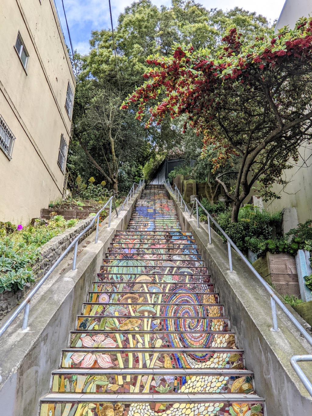 Hidden Garden Steps.
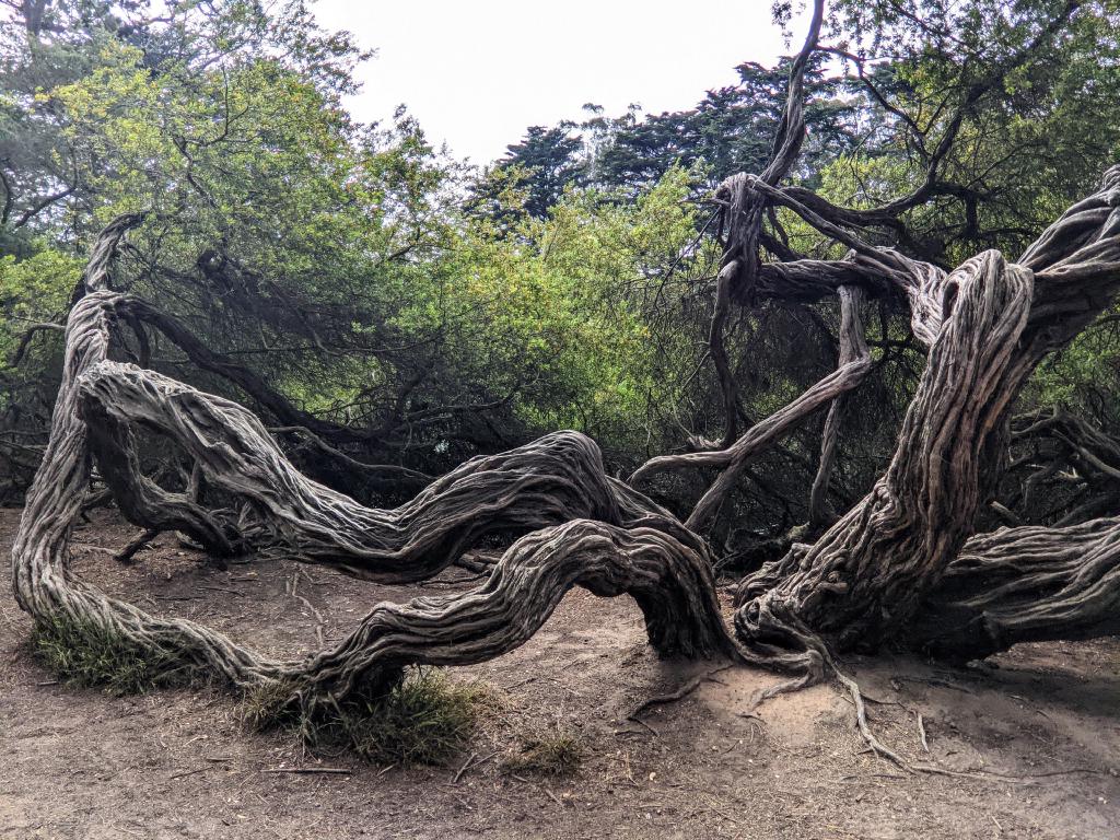 Golden Gate Park. Near Strawberry Hill.
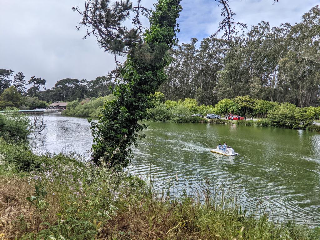 Stow Lake.
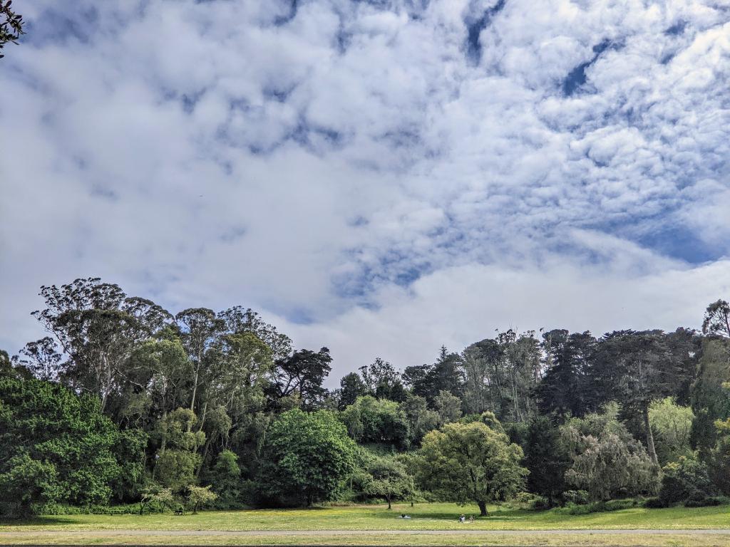 Pioneer East Meadow.
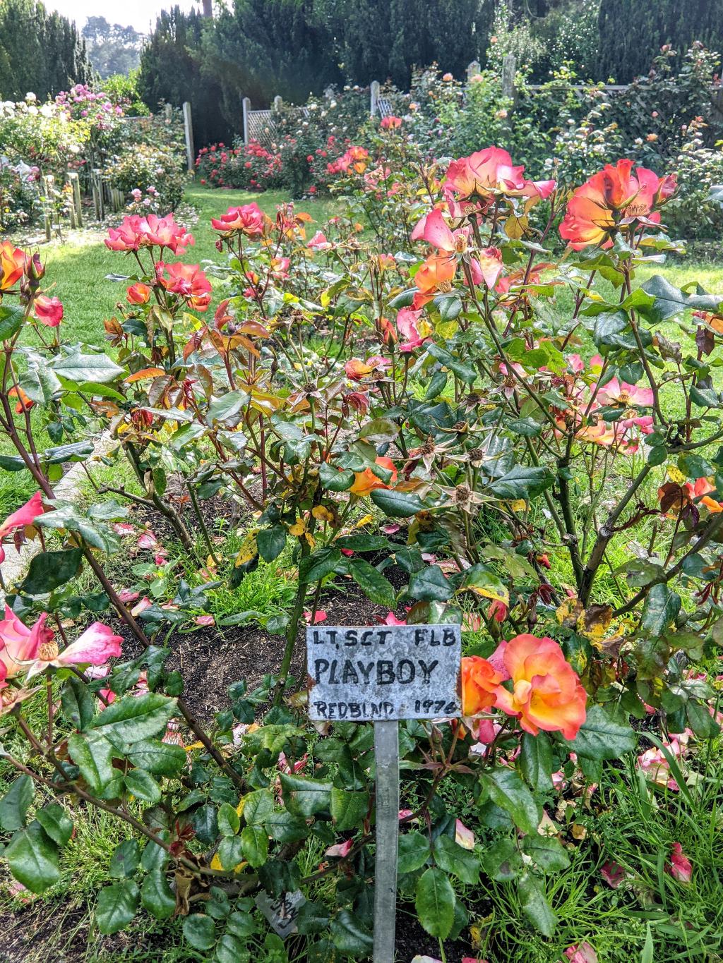 Rose Garden.
Hike from Candlestick Point to Richmond District.
Bike ride to Presidio of San Francisco.
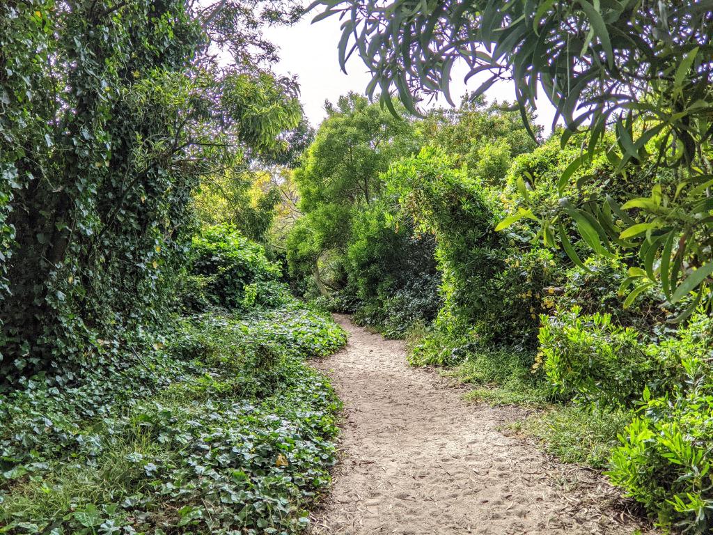 At the edge of Lobos Creek headed toward the coast.
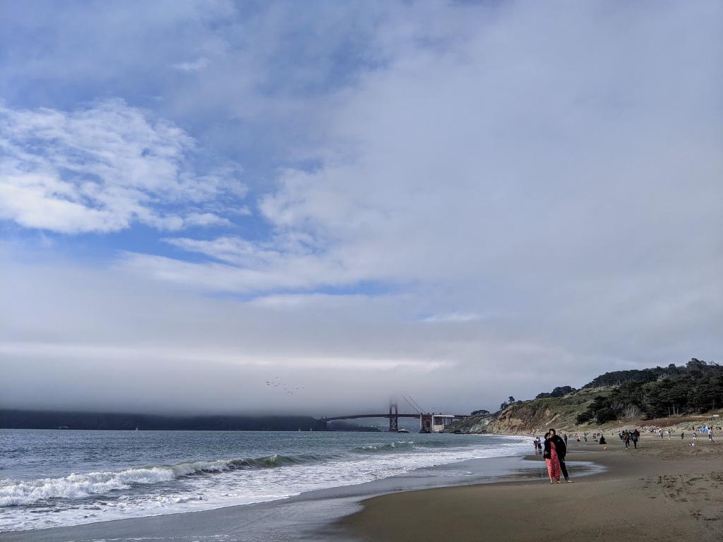 Baker Beach.
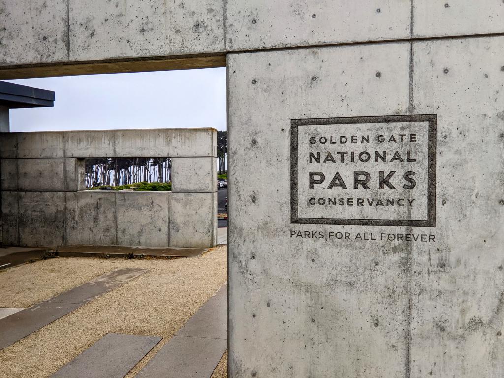 Lands End Lookout.
Final stretch from Sea Cliff to Sutro Heights on Lands End Trail.